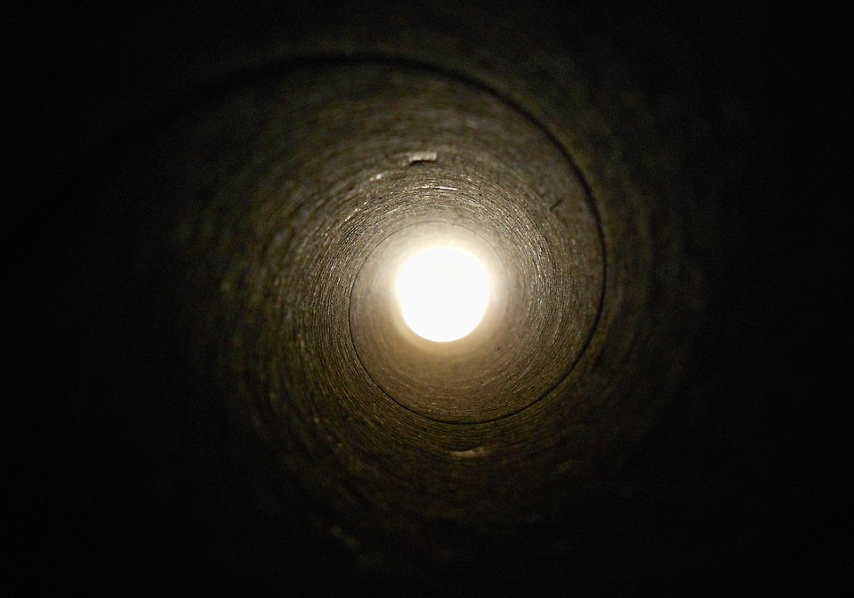
My last article addressed construction site excavation and the dangers of cave-ins. For this article, we will be discussing the process that takes places before excavation – potholing. Potholing is the process through which underground utility lines are discovered and identified, so the dig can go smoothly and prevent damage. A test hole is bored vertically to reveal the resource in question, then surveyed and documented to map the work area and subsequent city and utility company maps. The documentation required is extensive, but necessary.
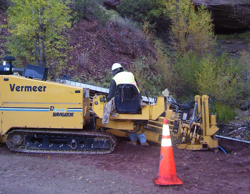
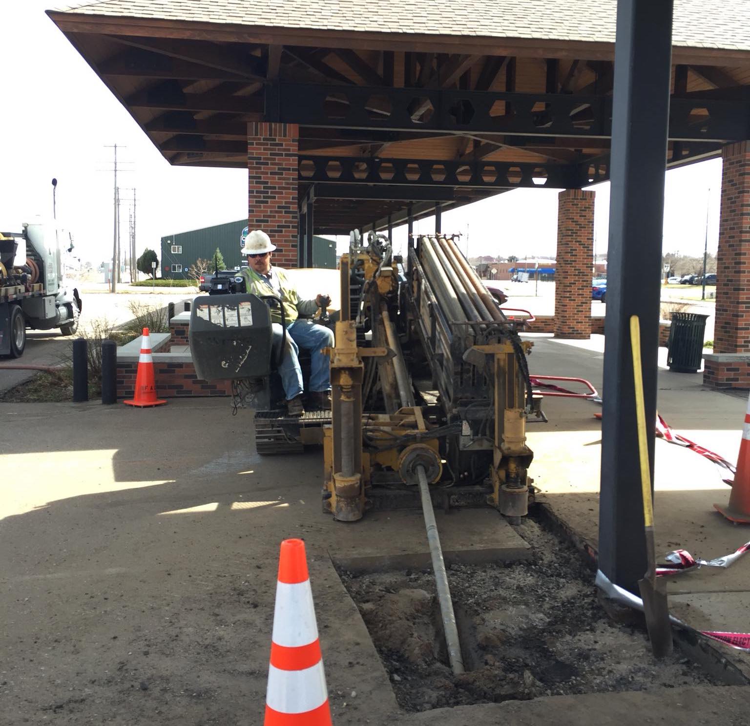
The utility line discovered must be measured both vertically and horizontally. The survey coordinates are recorded in a triangular manner and correlated to permanent landmarks. It may also be tagged with GPS coordinates for steadfast identification within changing terrain. These lines were previously located using a backhoe or excavator, but as our last article discussed, it can be damaging and risky, and the industry has since moved on to more reliable methods.
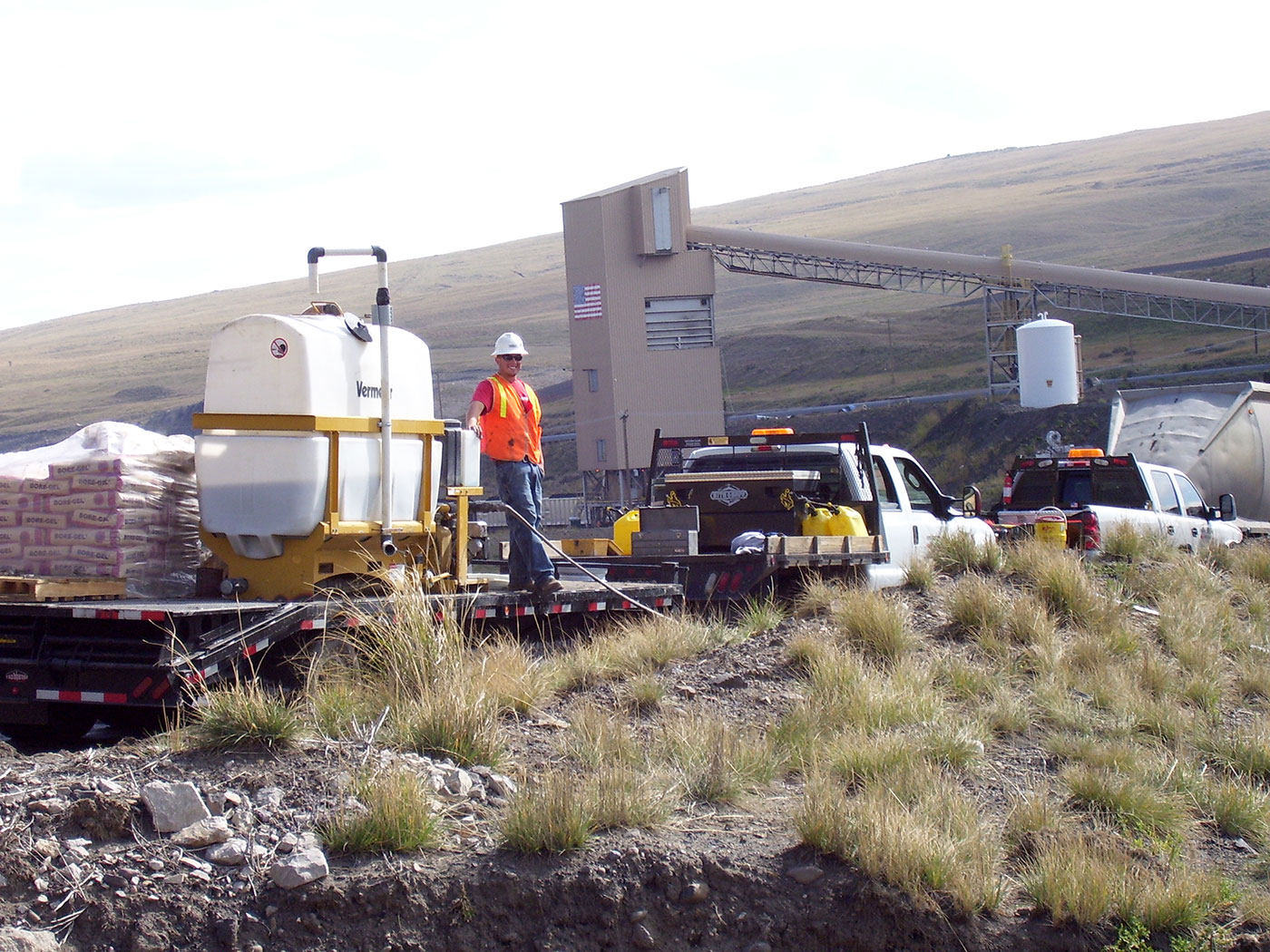
Hydrovac services paired with directional drilling are more commonly used now. Using high-pressured water, a precise hole is cut and the line can be identified and documented. This method is even used in winter, through heated water systems to saturate and break up the soil structure. The slurry is then vacuumed into a tank to be filtered and reused to restore the site upon job completion.
Potholing is necessary for a well-done HDD job, and is especially helpful in utility line-congested areas. These lines include most of the resources we require for everyday life. Water, electricity, natural gas, fiber optics, oil, transit, sewage, and even street light system lines run underground, where they are most protected.
In addition to potholing, radiolocation devices, ground-penetrating radar, traceable cameras, and electromagnetic equipment are also used to identify each line. The type of utility, diameter, material, and position, and health of the line are recorded. Notes for success and failure prevention are documented for future projects. Inaccurate locations are corrected, line route changes and new line installation details are logged. The lines are color-coded for easy identification, per the American Public Works Association:

Advanced Line Systems has the experience to get your utility locating job done right! Contact us today.


